

Prague Heat Islands: Hotspots Up to Seven Degrees Warmer at Night Than the Outskirts
IPR publishes new story map on heat islands in the capital – temperature data to play a greater role in future urban planning
Photo: IPR Praha
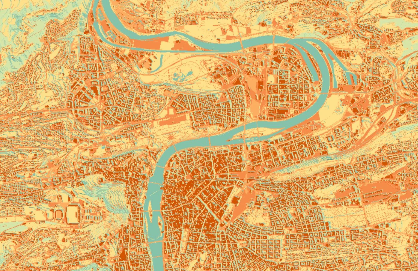
How much Prague heats up in summer depends considerably on the district. New data from the IPR highlights the temperature differences and is intended to help identify particularly heat-prone areas at an early stage and, where possible, prevent their development through urban planning.
Prague is looking back on an exceptionally hot summer. Between May and September, 29 tropical days and twelve tropical nights were recorded in the capital. A new story map from Prague’s Institute of Planning and Development (IPR) now shows how differently individual parts of the city heat up and how this data can be used for future urban planning.
The interactive application “Horko v Praze” (CZ) illustrates the so-called urban heat island effect. This occurs primarily in densely built-up areas, where buildings, roads, pavements and other sealed surfaces absorb large amounts of heat during the day and later release it back into their surroundings.
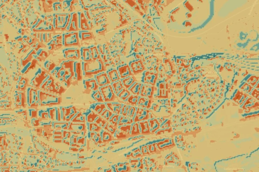
Photo: IPR Praha
The temperature differences are particularly noticeable at night. While less densely built-up peripheral areas cool down more quickly, heat remains stored for longer in central districts. According to the IPR, during the first half of a tropical night, the air temperature in areas such as the Old Town or Holešovice can be up to seven degrees higher than on the outskirts, for example in Ruzyně.
In addition to dense development, the limited amount of vegetation also plays a role. Trees and other plants provide shade and cool their surroundings through the evaporation of water. Asphalt, concrete and other typical urban materials, by contrast, store heat. There are also additional sources of heat such as vehicle engines, air-conditioning systems and electrical devices.
To map the overheating of the city as accurately as possible, the IPR combined different data sources. These include measurements from weather stations, satellite data and the digital PALM model. This combines meteorological data with a three-dimensional model of Prague and makes it possible to calculate air and surface temperatures down to street level.
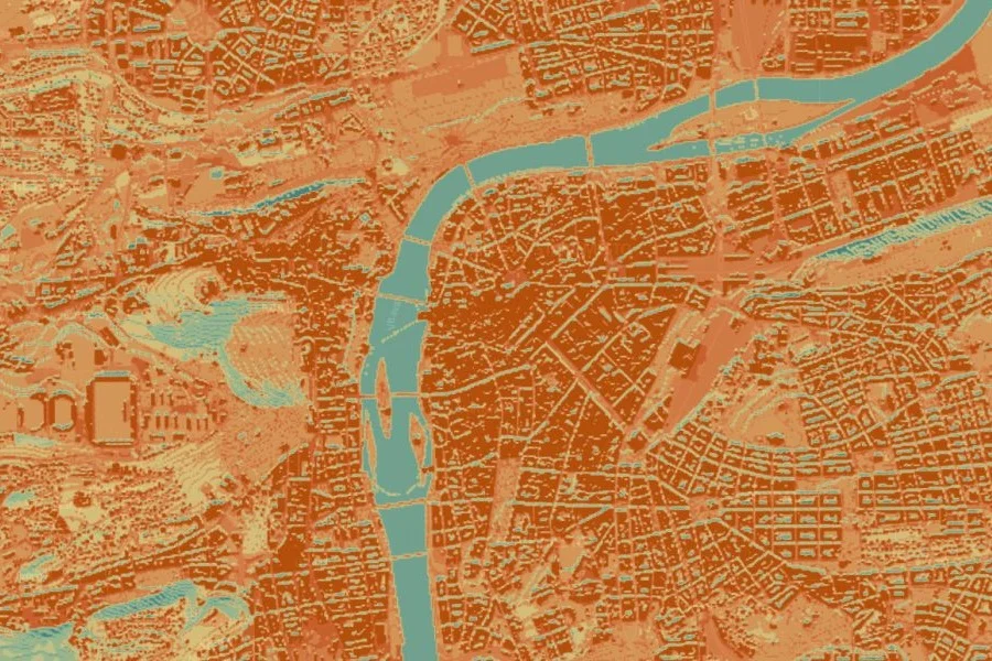
Photo: IPR Praha
The data is to be used more extensively in future when planning new districts. Particularly heat-prone areas can therefore be identified at an early stage and appropriate measures taken into account. These include, for example, the orientation and height of buildings, the arrangement of residential blocks, additional vegetation and the choice of suitable materials and surfaces.
The models can also be used to examine the effects of development on air flow. The aim is to plan new neighbourhoods in such a way that heat builds up less intensely and densely built-up areas can cool down more effectively during the summer months.
More from News

Prague Tunnel Bus Passes 100,000-Passenger Mark